A dozen photos found here http://www.westonlangford.com/search/
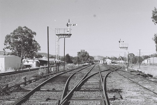 |
| http://farm5.static.flickr.com/4077/4912265685_3db28abe50.jpg |
 |
| http://farm5.static.flickr.com/4123/4912846152_c5eeacdc5c.jpg |
 |
| http://farm5.static.flickr.com/4099/4912253315_fb99d40528.jpg |
More Photos from Flickr can be found
here
 |
| Aerial Map from 1936, shows the location of everything around the area. |
 |
| Euroa Station Early (Not sure of Date) |
 |
| This photo shows Anderson Street level crossing and the southern end water tower |
 |
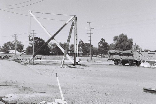
| This photo from the Euroa Gazette shows the character of the crane located behind the crane. |
Photos are not taken by Mark Jesser unless otherwise stated.


